

Low‑altitude economy adds a second growth wing to Linyi, China's logistics capital
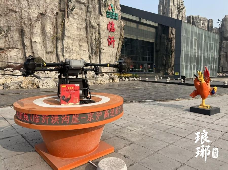
Low‑altitude economy is emerging as the “second growth wing” for Linyi, the well‑known logistics hub of China. With 10,600 square kilometers of available airspace, the largest across Shandong Province, Linyi gathers more than 40 low‑altitude‑related enterprises, and UAV technologies are widely applied in logistics, agriculture, emergency rescue and urban governance.
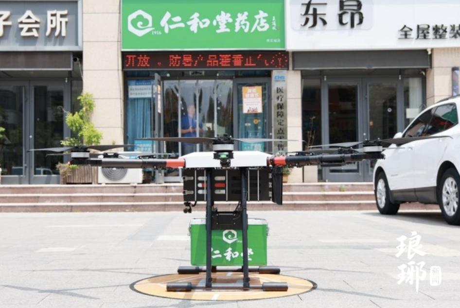
Multiple normalized UAV logistics routes have been put into operation. At the Beijing‑Shanghai Expressway Linyi service area, the 9.8‑km stir‑fried‑chicken delivery route delivers hot local food to travellers in about 15 minutes. In Linyi Trade City, cargo‑carrying UAVs cover a 5.8‑km route from China Education Supplies Purchasing Base to Lantian Smart Logistics Port, finishing transport in roughly 10 minutes. In Yhe New Area, medicine‑delivery flights connect pharmacies with student dormitories over a 2.52‑km distance, completing whole delivery within seven to eight minutes. In Linshu County, medical‑supply air corridors enable cross‑regional emergency‑medicine delivery within 30 minutes, which has been listed among Shandong provincial typical low‑altitude application cases.
Beyond logistics, UAVs empower urban refined governance. The city deploys 1,130 government‑service UAVs. Linyi Urban Administration Bureau has established China’s first “air urban‑management” patrol team, conducting aerial inspections of key regions. The municipal emergency‑response platform links 206 UAV devices for real‑time scene transmission during unexpected incidents. UAVs are also used for high‑voltage power‑transmission‑tower inspection and high‑rise building exterior‑wall cleaning tasks.
For low‑altitude safety governance, a UAV detection, monitoring and counter‑measure service platform is built in Linyi. Fixed monitoring stations set up on building rooftops achieve a 10‑km detection radius, supported by portable mobile detection terminals. The system can trace multi‑rotor and fixed‑wing UAV flight paths and locate remote‑control operators, laying practical technical foundations for unified air‑space supervision.
Since the inauguration of Linyi Low‑Altitude Economy Institute in April 2025, a host of innovative scenarios have moved out of laboratories and into daily civic life. Integrating with Linyi's mature ground‑logistics strengths, low‑altitude business forms a brand‑new driving force for local high‑quality socioeconomic development.
Editor:韩蒙蒙