
Hydrological staff stand guard to safeguard flood safety across Yishu river basins
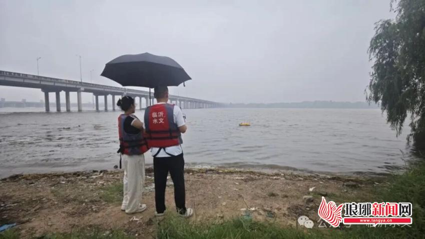
From July 14 to 16, Linyi suffered a heavy rainstorm with an average regional precipitation of 49.2 mm. A total of 126 monitoring stations recorded cumulative rainfall exceeding 100 mm, covering an area of 1,140 square kilometers, and the maximum rainfall reached 185.5 mm at Qijiayu Reservoir Station in Feixian County. Water levels rose sharply along main and branch streams of the Yi and Shu Rivers, with water depth surging over 0.5 meters at 38 stations and over 1 meter at 25 stations. Faced with severe flood risks, Linyi Hydrology Center activated Level IV emergency monitoring response and dispatched all frontline staff to carry out round-the-clock hydrological surveys.
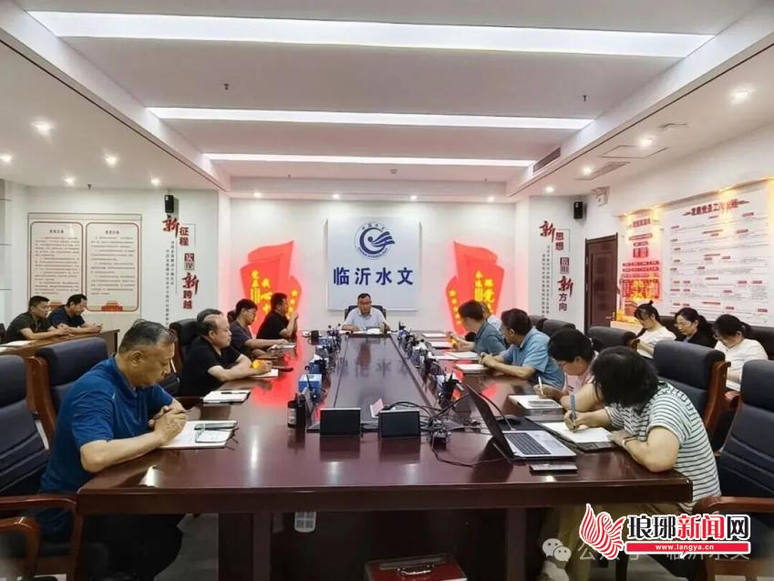
The center held emergency deployment meetings overnight to analyze rain and flood trends, assigning special teams to patrol river banks, reservoirs and monitoring sections. Staff braved wind and rain to measure flow velocity and water depth day and night, while the central operation room tracked real-time hydrological data and issued early flood warnings instantly. New intelligent equipment including unmanned aerial vehicles, remote-controlled survey vessels and 3D radar velocimeters were deployed to improve monitoring precision. As of 7 a.m. on July 17, survey teams had completed 176 field flow measurements and submitted 375 supplementary calculated data to support flood control command.
Hydrological teams act as vital flood sentinels for Linyi. Their all-weather, data-driven monitoring system provides reliable scientific support for flood risk evacuation and water conservancy regulation, fully protecting people's lives and property in the Yimeng area.
Editor:韩蒙蒙
LATEST
- Linyi celebrates rural civility through performing arts
- Linyi villages thrive by capitalizing on industries, culture
- Linyi reshapes modern village with new lifestyle